Real Estate & Aerial Photography That Makes Properties Stand Out
Residential, commercial, and aerial photography for real estate agents, developers, and property managers in Central Indiana
✔ FAA-licensed drone pilot
✔ Fast, reliable turnaround
✔ Residential & commercial experience
✔ Fully insured

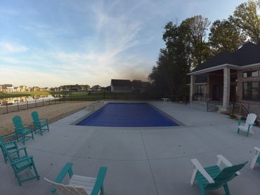
Bright, natural images designed to showcase homes accurately and attract qualified buyers—ideal for MLS listings, brochures, and online marketing.
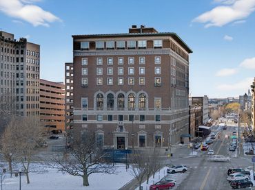
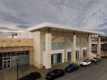
Professional imagery for offices, retail, multi-family, hospitality, and mixed-use developments—perfect for leasing, investor decks, and websites.
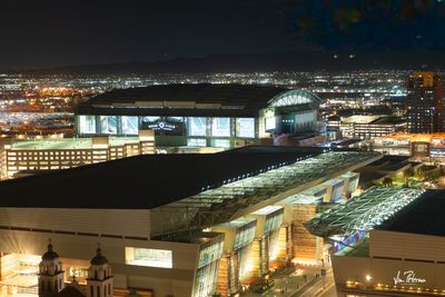
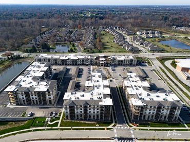
FAA-licensed drone photography and video that highlights property location, surroundings, scale, and access—without gimmicks or distortion.
Short, polished walkthrough and aerial videos that elevate premium listings and commercial properties.

I work with:
If you need professional imagery that reflects the quality of your property, I’m a good fit.


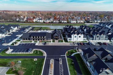
Orthomosaic maps, construction progression, site documentation, and aerial data for developers and builders.
Limited-edition prints and fine-art photography for collectors and interior spaces.


